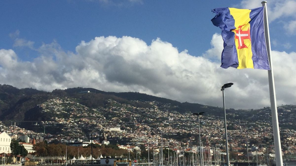
According to information from the Portuguese Institute of the Sea and Atmosphere (IPMA), the meteorological situation is “associated with the approach and passage of an active and well-defined cold frontal surface”.
The IPMA has placed all regions of Madeira under an orange warning, the second most serious on a scale of four, for the situation of strong sea agitation, with a yellow warning for precipitation and wind.
According to the region's Civil Protection, precipitation and thunderstorms are expected today, with periods of heavy rain or showers accompanied by thunderstorms, especially on the southern slopes and mountainous regions, with the period of greatest intensity expected to be between 18:00 and 21:00, “with weather warnings remaining in effect until at least 23:59”.
In the case of the wind, it will increase in intensity from mid-afternoon, blowing from the southwest, with gusts of up to 90 kilometres per hour and up to 110 kilometres per hour in mountainous regions, they indicate.
The Civil Protection Service adds that “at the end of the day, it will begin to gradually rotate to the northwest while maintaining its intensity until the end of Tuesday morning”.
Regarding sea agitation, the SRPC mentions that waves from the west/northwest are expected on the north coast and on the island of Porto Santo, with five to six meters in height and a peak period of around 17 seconds (high energy) from Monday night to Tuesday.
The southwest part of Madeira Island is expected to experience waves of around five metres, with maximum heights that could reach nine metres, it warns, adding that “a gradual decrease in sea agitation is expected from Wednesday onwards”.
Due to the worsening of the meteorological situation, Civil Protection stresses the importance of adopting “appropriate behaviour”, especially “in historically more vulnerable areas”, to minimise the impact of expected effects.
The authorities also recommend that loose structures, namely scaffolding, placards and other suspended structures, be properly secured, as well as taking special care when moving around and staying near wooded areas.
The SPRC adds the need for special care when driving along the coastline and areas historically more vulnerable to coastal flooding, avoiding driving and staying in these areas and adopting defensive driving, reducing speed and paying special attention to the possible formation of sheets of water on roads.


